Sunrise from Ben Hope
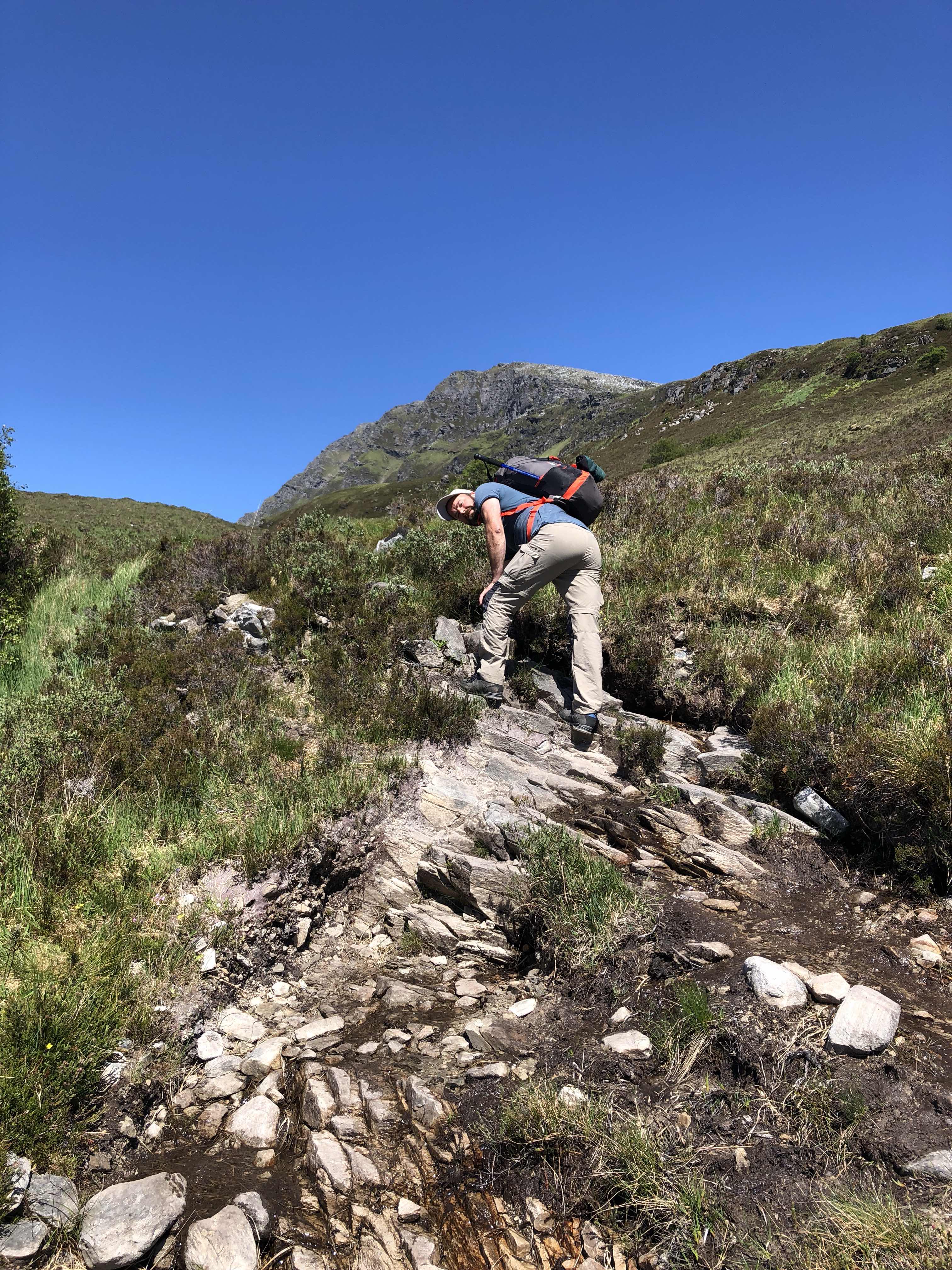
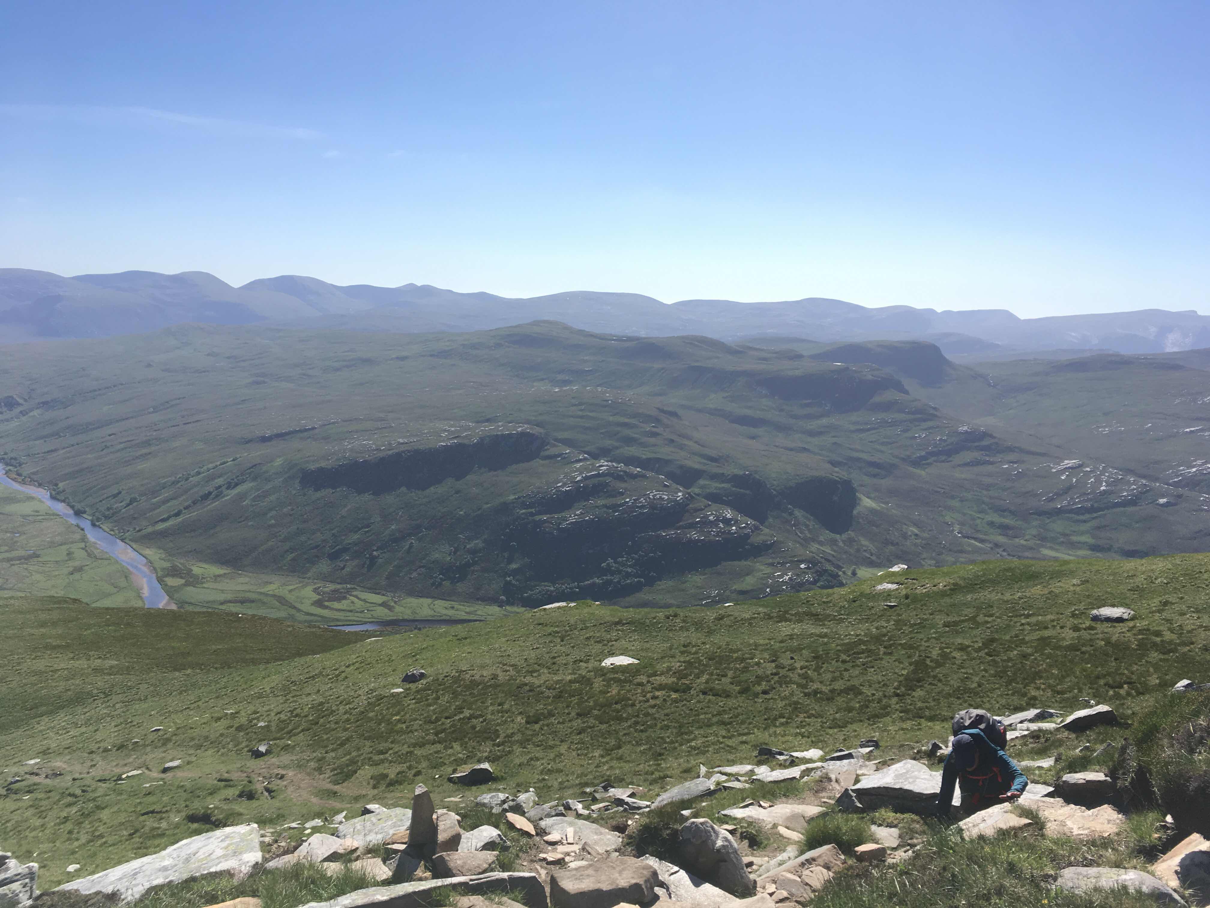
We started with some coffee and muesly bars for breakfast. Then it was time to break up our camp and start the walk back downhill. We took the same route, but it was a whole different feeling. The views seemed different as well, so it didn’t really matter to walk the same path twise. Going up was hard, but going down made me feel like my knies could collapse any moment. But we made it in one piece witout falling or slipping.
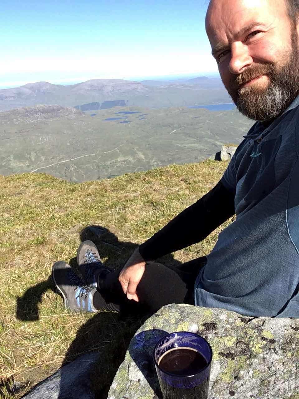
Coffee for breakfast


An eagle searching for a prey

Liane almost down the hill (do you see her?)
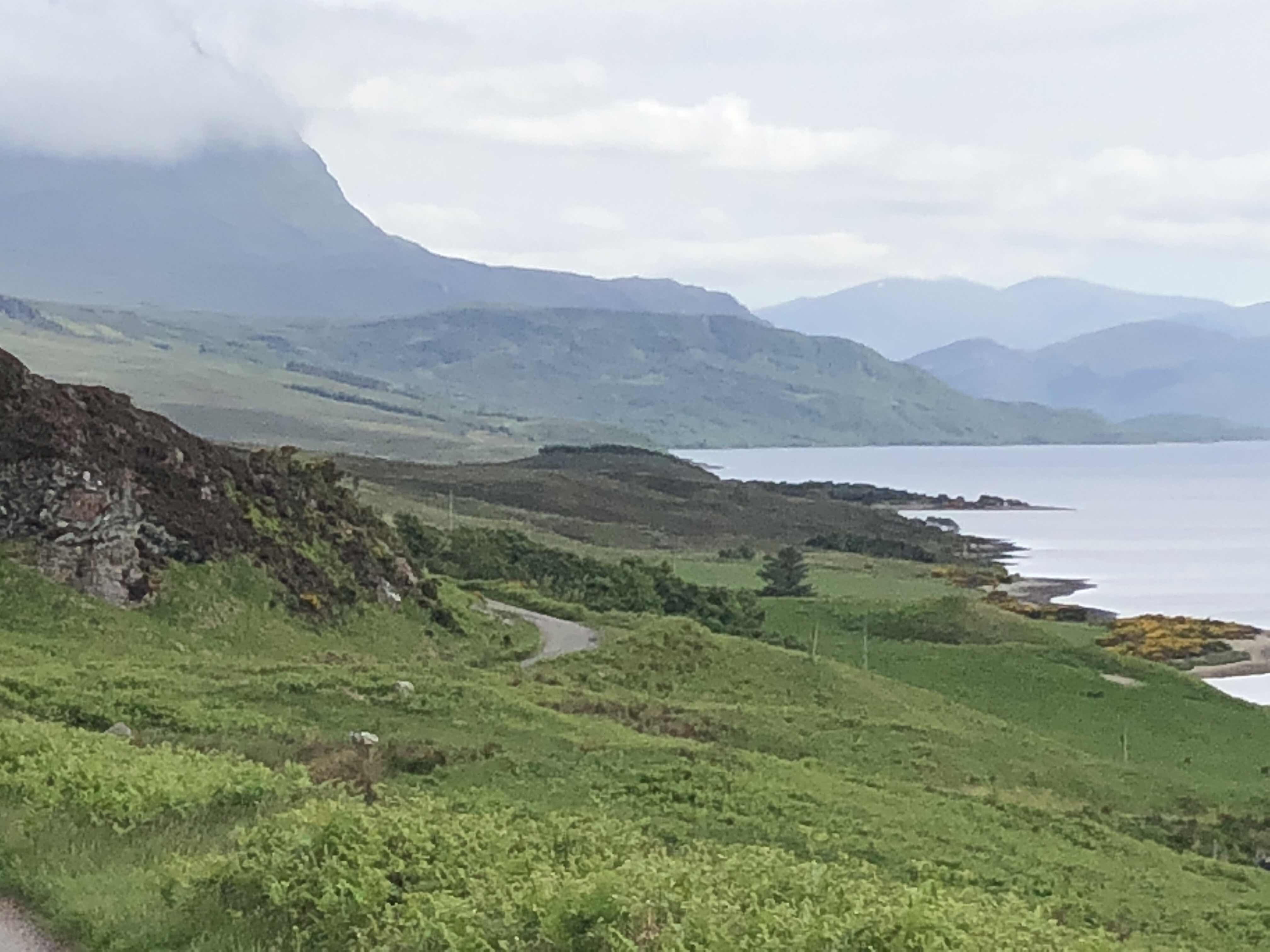
When we reached Tos we really needed a little rest, but after half an hour or so we started the engine to follow the small road we were on. It took us further inland here there was literaly nothing for miles. Only hills, grass, some water and roadworks! Really, in the middle of nowhere they were digging out the ditch along the road, instead of fixing the road itself wich could use some work in my opinion.

Narrow single track road

No other way then to wait
We took a loop back to the coast and the second half of the loop went trough a totally different scenery along the river Naver. Trees, lots of farms, sheep and quite busy. The road was a little better but still a single track, but this time with signs at the passing places.

The last part of the trip was along the coast, following the NC500 again. It wasn’t the nicest part, but it took us to Thurso were we will take the ferrie to Mainland Orkney.

Camping site in Thurso
When we woke up this morning we had some trouble getting out of our beds. Not because we were still tired, but because our legs we stiff and painfull from the walk downhill yesterday. The whole day we moved like to very old persons, hardly able to take a stair or other kind of obstacle. So after a slow and carefull start we drove to the ferrie in Scrabster, just a few miles from Thurso, to get onboard and sail to Stromness in Mainland Orkney.


Map of the village of Skara Brae

5000 year old settlement

Dresser, beds, fire place - all still in place


Stop! Camp spot


View from our camp spot

Our own Skara Brae-table
Views during the decent
An eagle searching for a prey
Liane almost down the hill (do you see her?)
When we reached Tos we really needed a little rest, but after half an hour or so we started the engine to follow the small road we were on. It took us further inland here there was literaly nothing for miles. Only hills, grass, some water and roadworks! Really, in the middle of nowhere they were digging out the ditch along the road, instead of fixing the road itself wich could use some work in my opinion.
Narrow single track road
No other way then to wait
We took a loop back to the coast and the second half of the loop went trough a totally different scenery along the river Naver. Trees, lots of farms, sheep and quite busy. The road was a little better but still a single track, but this time with signs at the passing places.
The last part of the trip was along the coast, following the NC500 again. It wasn’t the nicest part, but it took us to Thurso were we will take the ferrie to Mainland Orkney.
We found a nice camping spot with a sea view, so it was okay.
Camping site in Thurso
When we woke up this morning we had some trouble getting out of our beds. Not because we were still tired, but because our legs we stiff and painfull from the walk downhill yesterday. The whole day we moved like to very old persons, hardly able to take a stair or other kind of obstacle. So after a slow and carefull start we drove to the ferrie in Scrabster, just a few miles from Thurso, to get onboard and sail to Stromness in Mainland Orkney.
The ferrie gave us a nice view on Dunnet Head, the real most northern point of Scotland. And it also sailed along the old man of Hoy, a standing rock in the sea at the coast of the isle of Hoy.


Dunnet Head

The “Old man of Hoy”
On Orkney we first wanted to visit a stone circle. But distances are so short here that we already past it before I had time to find it on the map. So we go there tomorrow, instead we visited Skara Brae.
Dunnet Head
The “Old man of Hoy”
On Orkney we first wanted to visit a stone circle. But distances are so short here that we already past it before I had time to find it on the map. So we go there tomorrow, instead we visited Skara Brae.
Skara Brae is a settlement dating from 3100 years BC. It gives a great idea of how people lived in those times. Really stunning and mindblowing, they even had a cupboard to expose their belongings, not much changed since. And really unbelievable how well the houses are preserved all these 5000 years.
Map of the village of Skara Brae
5000 year old settlement
Dresser, beds, fire place - all still in place
We also visited the house of the man who found Skara Brae in 1810. Not so impressive but the floormat was worth a picture. It was the skin af a tiger (in those days it was still normal to shoot them) with a rouge sowed aroung the edges. Too strange to imagine.
After Skara Brae we headed for a campsite a bit more up north on the Isle, but then we passed this perfect spot for a wild camp. So we parked Tos there immediatly and called it a day.
Stop! Camp spot
View from our camp spot
Our own Skara Brae-table